Explore the interactive map and share your views
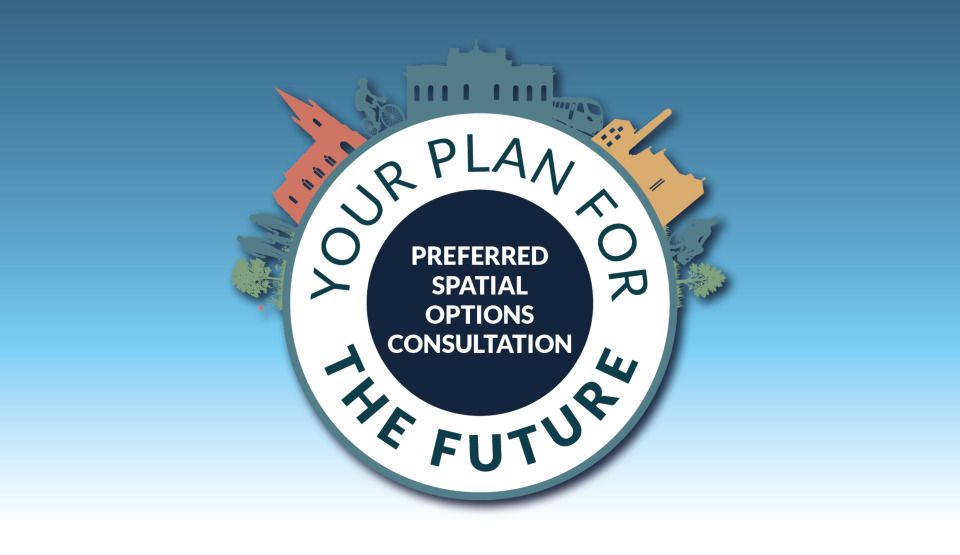
Our Local Plan Preferred Spatial Options consultation is about the type of development that should be built in West Oxfordshire and where it should be located. We asking for your views on suggested locations for where homes and jobs could go, up to the year 2043.
The consultation runs until 22 December, and there’s now an interactive map to help you explore what’s being proposed. You can see potential development locations alongside key environmental information, including flood risk areas and places important for wildlife. You can also add your comments directly onto the map, telling us what you think about specific sites.
Take a look and share your views by exploring the Preferred Spatial Options Map here.
More Articles

Stay safe in the hot weather

OCC are proud to support Connect to Work

A little sorting at home can make your visit quicker and easier
A free, confidential drug and alcohol service for young people aged 8–25
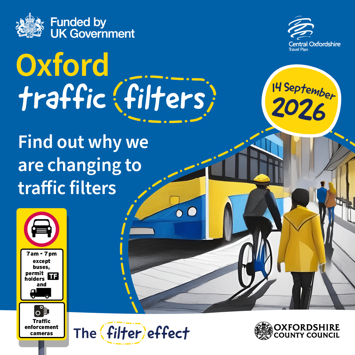
Traffic filters are replacing the congestion charge

There is lots happening to raise awareness of the work of the highways team.